Looking into the cement structure we can see the actual gate. The large gears worked together to raise and lower the gate. The dam would have extended across the river. The top of the dam would have been just below the top of the housing.
Forgotten History: The Big Dam
Looking into the cement structure we can see the actual gate. The large gears worked together to raise and lower the gate. The dam would have extended across the river. The top of the dam would have been just below the top of the housing.
Old McDonald had a Farm or two or three
Today's adventure took us into northeastern Connecticut and one of its numerous state forests. I knew we would find at least one foundation, Connecticut always satisfies, but we found five. There were also some interesting stone walls and an interesting stone pile.
Farm Site One
The first foundation was a colonial-era house. It was built in a "C" shape. In the center of the "C" is a concentration of rocks used for supporting the chimney.
There was a lot of brush surrounding this foundation but you can see the "C" in the center of the picture. It was not a perfect "C" as one side was longer than the other. A small chamber was built into the chimney foundation, most likely for food storage. A larger foundation was about 30 feet from this one.
This foundation was larger and was a barn. It wasn't a "bank" barn (a barn built into the side of a hill or mound to make access to the upper story easier). The foundation was about six feet high. There was a smaller wall inside the foundation running parallel to the right side wall. This formed a room with its own door. Its purpose may have been either to separate livestock or keep hay or grain.
Farm Site Two
Following the old road we crossed an old logging site. Before it was logged it may have been a pasture or hay field. On the other side of this field, I came to a second home site. There were remains of another house complete with the remains of a fireplace.
Pardon the quality of the picture, however, you can see the arch above the firebox. This is the first one like this I have seen. The foundation was collapsed and full of debris. The loggers had gone through here and left behind the usual mess.
Farm Site Three
Further along, we came across three more foundations. The first was a house, again in the "C" shape.
The picture shows the chimney base in the center. There was also a barn, not a bank barn. This was smaller than the first and in better shape. You can see the wide opening on the right for access.
There was a third structure in this area as well. You can see it at the upper right of the picture and below. I was unable to determine the purpose of it. It was oval-shaped and about two feet deep. Some stones were lining the inner walls. It may have been the original house although because of its shape, I don't believe it was. It may have been a cistern. This was at the top of the hill and there wasn't much in the way of water.
Other Structures
Clang Clang Clang Goes the Trolley
Most of the time I have somewhat of an idea of what I will come across when I go on an adventure. I like to go places with some type of history attached, maybe an old farm site, mill site, or perhaps just an old road. Today I had no idea what I would find.
I look at a map before I go and pick a place, sometimes I look for certain things. Today I picked a section of the Shenipist Trail in Tolland CT. Looking at the map it looked straight and went along the shore of Shenipset Lake. I didn't realize until I started hiking that this was an old railroad or trolley line.
I should have known it was one or the other when I saw how straight it was on the map but it didn't click. The first sign upon commencing my walk was how straight and flat it was. After a few hundred yards I also noticed it was on built-up grade, staying flat as the surrounding landscape descended. Looking back at my map it wasn't marked as an old railroad which you will sometimes see. I also noted it appeared narrower than what I find railroad grades to be.
As I walked I came to a place in the trail that went sharply down and then sharply up. There must have been some kind of bridge here. A little further up there was another, deeper drop crossed by a modern wooden bridge, not an old railroad bridge reused. Either of these, as well as two more had no evidence of stone or cement footings. This was odd to me. Two of them did have what appeared to me to be scrape marks from the bucket of an excavator. Perhaps the abutments had been pulled out. Why?
The only thing I found that may have been railroad/streetcar-related was a culvert. This was cement and was fairly large. There was no date stamped on either end and it must have crossed a fairly large stream although it is mostly dry now. Other than that I saw nothing. No mile markers, no whistle posts, no signal posts, no old ties. All this led me to the conclusion it was a trolley line.
I have been on several old trolley lines, Charlton MA, Marlboro MA, and Brimfield MA are three, and I have always noticed that when they are abandoned, nothing is left behind. Other than one bridge in Brimfield, I have never seen so much as a piece of a utility pole. It occurred to me today this was probably because these trolley lines all went bankrupt and sold everything for scrap to get money. If the bridge abutments were made of timber (doubtful) or granite blocks this could be the case. One of the crossings did have some loose stones at the bottom of it indicating this may have been made with stone.
The other thing that led me to believe it was a trolley line, it ran alongside Shenipset Lake. When I reached the end of the trail and could go no further, the bed was wider and there was a beach there. I think this was a park built by the trolley line taking passengers there in summer for extra revenue. Now let's do some research and see if I am at least close to right.
Looking at the Historical Topoview map website, in 1921 this was the "Shore Line Electric Railway". The original name was the "Connecticut Company" according to Wikipedia, and this was owned by "The New Haven Railroad". The company began in 1895 but I cannot find a date this portion of the line was built although looking at the old maps it had to be between 1892 and 1921. I also have not been able to find when this line was abandoned.
![]() |
| Connecticut Line Trolley Car |
Other than being on the old trolley line there wasn't much to see along this trail. There were no foundations or even stone walls alongside it. I should have looked at the old map before going and I would have noticed it shows an ice house listed. I was going to go to that section hoping there might be an old mill site but did not. Story of my life I guess.
However, it was a beautiful fall day and the Wayward Wagger and I enjoyed ourselves.
Kinney Hollow
Green. If I had to choose one word to describe today’s hike/explore it would be green. It’s the beginning of August and it’s been a wet one so the forests are green. Dark green, light green, and every green in between. I started this hike at about 8:30 AM, the sun was not yet high and there was a fine mist from last night’s rain. The only sounds were a few birds, squirrels, chipmunks, and the occasional dripping raindrops left from last night’s rain.
Old Furnace State Park
Welcome back! That's more for me than for you. I finally have the time to write again as well as to pursue other interests. You see, I have finally retired. Okay, not all the way but I am only working three mornings a week which gives me time for things like this.
So Many Rocks - Part 2
In my last post, I described some of what I came across on a recent hike. Since then I have returned to the site and have also done some extensive research. I have learned some pretty interesting things. If you haven't already, watch my video from the first exploration here.
So Many Rocks
So little time.
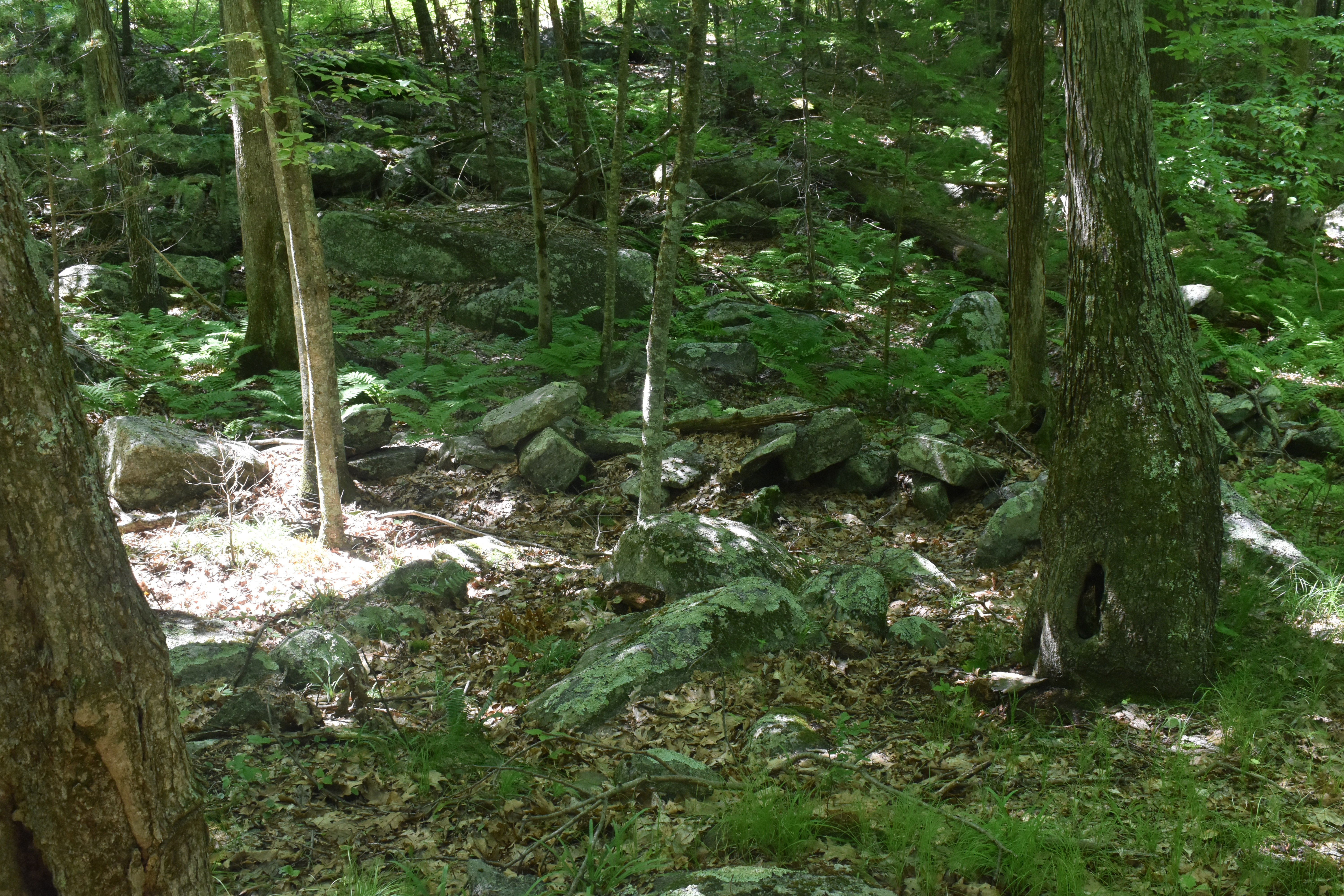
Once again in the course of my exploring adventures, I have come across some unknown rock structures in the woods of Massachusetts. Did I find Native American ceremonial sites? Prehistoric ruins? Or just random rock formations left when the glaciers retreated from the area?
Prayer Seat or Fire Pit?
I recently came across an interesting stone structure during a hike, and I'm trying to determine whether it is a U-shaped stone structu...
-
In my travels throughout the woods of central New England, I am always looking for things that just don't seem right. Things like piles ...
-
Most of the time I have somewhat of an idea of what I will come across when I go on an adventure. I like to go places with some type of his...
-
Green. If I had to choose one word to describe today’s hike/explore it would be green. It’s the beginning of August and it’s been a wet one ...